

Search results
Results
Walking and hiking test item
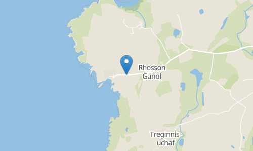
This is a wonderful and varied figure of eight route that takes in views of the coast and the countryside. You can start this walk by parking near St Justinian's church and heading south. The trail is relatively easy with beautiful sweeping views of Ramsay sound and Ramsay island. The rugged Welsh coastline make for wonderful photo opportunities as well.
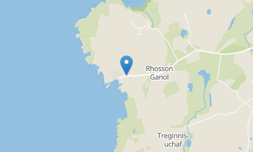
Welcome to the stunning Pembrokeshire Coast! So much to see on this coastal route spanning over 6 miles of glorious coastline and scenic views of Ramsey Island and beyond. You can find multiple camping opportunities along this trail, so stay a while and take in the seaside air. This walk is dog friendly but expect to see livestock and steep cliff drops along the way. There are plenty of amenities as you make your way to Caerfai Bay, this trail's final stop. Enjoy! For more information about the Pembrokeshire Coast: https://www.pembrokeshirecoast.wales/
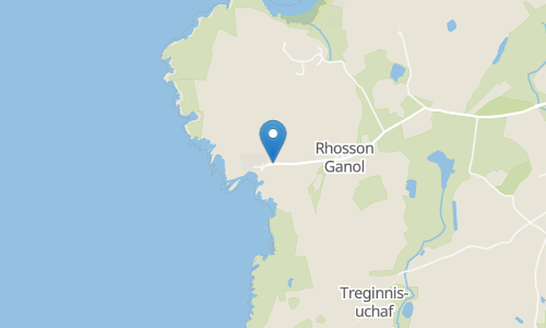
Starting at St Justinian's, the trail winds along the coastal path passing the site of Castell Heinif, believed to be an Iron Age enclosure, with great views on a clear day as you make your way past the headlands and coves before returning to the start via Treginnis-isaf. Take care on the rougher sections of this trail, especially in wet and windy conditions. Appropriate footwear is required.
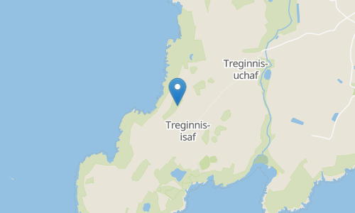
Carn Fach: This area is best seen from the trail. And fortunately for you, there are 9 trails that will get you there, including hiking and walking trails. Whether you're looking to hike, bike, run, or explore the outdoors in other ways, AllTrails has 9 scenic trails in the area. Plan your trip with hand-curated trail maps, along with reviews and photos from nature lovers like you. Carn Fach: Looking for a challenge? Choose from 9 more difficult routes. No matter how you like to get out in nature, the trails here are perfect for hikers and outdoor enthusiasts at any skill level.
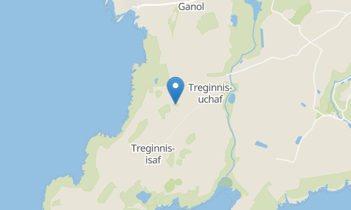
Carn Gwil Geli: This area is best seen from the trail. And fortunately for you, there are 1 trails that will get you there, including hiking trails. Whether you're looking to hike, bike, run, or explore the outdoors in other ways. Plan your trip with hand-curated trail maps, along with reviews and photos from nature lovers like you. No matter how you like to get out in nature, the trails here are perfect for hikers and outdoor enthusiasts at any skill level.
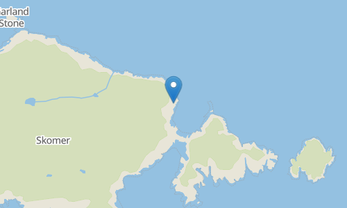
Skomer is the largest Pembrokeshire island and is home to the largest colony of seabirds in southern Britain and the largest colony of Max shearwaters in the world. This trail leads you all the way around Skomer Island, allowing you to enjoy the superb sea views, coastal cliffs, and secluded bays. Starting from the Skomer Island foot ferry drop-off point, follow the paths that lead you past a lime kiln and to the Harold Stone, which is believed to date back to the Bronze Age. Proceed inland, past the ruins of the Old Farmhouse, before making your way to the northernmost tip. Enjoy the views across the water to Garland Stone just off the shore before continuing on the path along the rugged coastline, leading you to several excellent viewpoints. You’ll pass the Bull Hole and the Wick, with views across the Mew Stone, before returning to the trailhead at North Haven. The place also comes alive with wildflowers in spring. Make sure to keep an eye out for dolphins and seals in the water, as well as puffins and other seabirds, which are best observed in spring and summer.
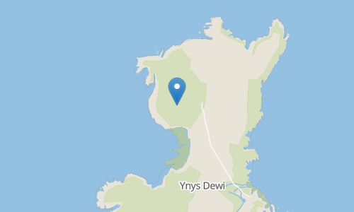
Carnysgubor: This area is best seen from the trail. And fortunately for you, there are 1 trails that will get you there, including hiking trails. Whether you're looking to hike, bike, run, or explore the outdoors in other ways. Plan your trip with hand-curated trail maps, along with reviews and photos from nature lovers like you. No matter how you like to get out in nature, the trails here are perfect for hikers and outdoor enthusiasts at any skill level.
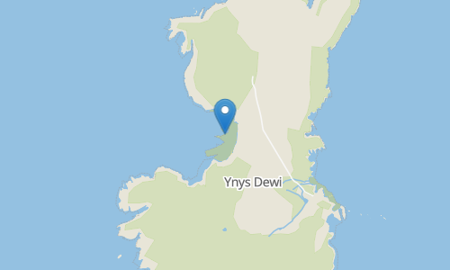
Aber Mawr: This area is best seen from the trail. And fortunately for you, there are 1 trails that will get you there, including hiking trails. Whether you're looking to hike, bike, run, or explore the outdoors in other ways. Plan your trip with hand-curated trail maps, along with reviews and photos from nature lovers like you. No matter how you like to get out in nature, the trails here are perfect for hikers and outdoor enthusiasts at any skill level.
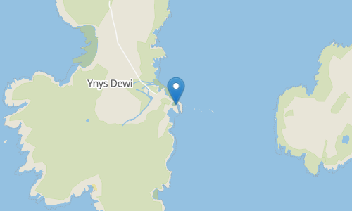
This beautiful island is a part of the Pembrokeshire Coast National Park, but lies a mile off of St. David's Peninsula. Many different types of birds and animals inhabit this island. You will need to take a ferry to the island. There is a circuit around the island which the map on this page mostly shows. The route passes by Carn Ysgubor, Trwyn Garlic, and Carn Llundain. The views from these peaks are awe-inspiring. The loop can be extended on the southern side. Either way you can't stray too far off trail. Then return to the ferry landing and return to the mainland.
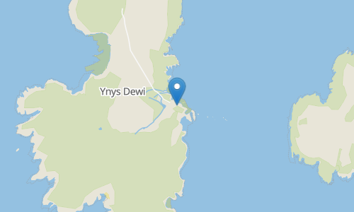
Head out on this 3.1-km circular trail near St. David's, Pembrokeshire. Generally considered an easy route, it takes an average of 49 min to complete. This trail is great for birding, hiking, and walking, and it's unlikely you'll encounter many other people while exploring.
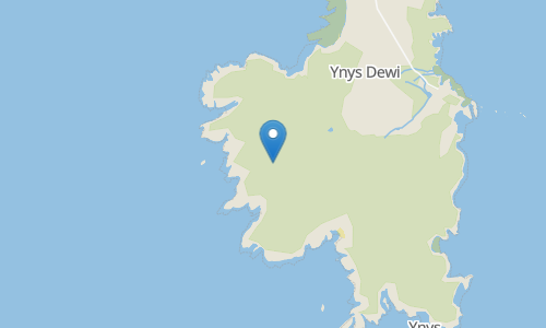
Carnllundain or Carn Llundain is the highest elevation of Ramsey Island in Pembrokeshire, Wales.
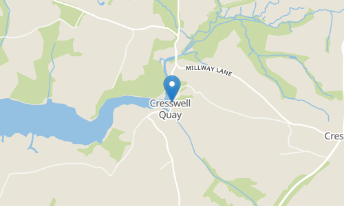
Starting in Cresswell, the trail crosses the river via stepping stones and heads through Scotland Wood. The trail then winds through the farmlands and woodlands beside Cresswell River to Lawrenny Quay. Here you can enjoy some refreshments before returning along the same path and then turning left to cross the farmlands to the road which heads back to the start via Foxenhole Plantation. Please note, the stepping stones are only accessible at low tide so please take note of these times before heading out. Care is needed in wetter conditions when the paths are muddy and slippery and appropriate footwear is advised. Great care is also needed on the road sections at the end as this is a winding road with no pavements.
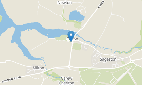
This route takes in the historic castle and tidal mill as well as farmlands and woodlands. Great care should be taken along the road sections and at the road crossings on this trail. Please note, a booked ticket may be required to visit the castle and mill, please check opening times and prices before heading out.
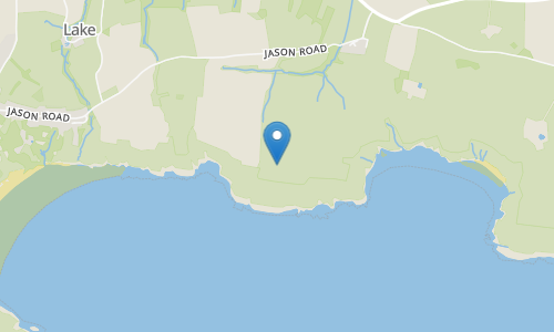
West Moor Cliff: This area is best seen from the trail. And fortunately for you, there are 4 trails that will get you there, including hiking trails. Whether you're looking to hike, bike, run, or explore the outdoors in other ways, AllTrails has 4 scenic trails in the area. Plan your trip with hand-curated trail maps, along with reviews and photos from nature lovers like you. West Moor Cliff: Looking for a challenge? Choose from 4 more difficult routes. No matter how you like to get out in nature, the trails here are perfect for hikers and outdoor enthusiasts at any skill level.
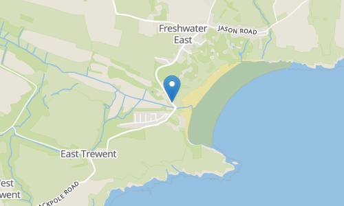
This is a beautiful route in the Pembrokeshire Coast National Park that leads you along the coast to Stackpole National Nature Reserve. From the car park along Trent Hill, follow the path past the Freshwater East Dunes and Freshwater East Bay, continuing on the Pembrokeshire Coast Path, a 300-kilometre section of the Wales Coast Path, tracing the Pembrokeshire coastline along the clifftops and offering gorgeous scenery. The path leads you past Greenala Point and the remains of the Greenala Point Iron Age promontory fort. Continue all the way to Stackpole Quay, where you’ll find a tearoom and toilet facilities. You’ll pass Lorts Cave on the way to Barafundle Bay, which is often considered one of Pembrokeshire’s most beautiful beaches, surrounded by dunes and trees. This is a great place for swimming on a warm day. Continue through the Stackpole National Nature Reserve, an area of limestone grassland, freshwater lakes, woodland, dunes, and limestone cliffs. You’ll pass Sandy Pit on the way to Saddle Point and continue along Broad Haven, crossing a footbridge to meander along the waterside of the Bosherston Lily Pools, which were created in the 18th and 19th centuries and are a haven for otters, dragonflies and wildfowl. The nature reserve is also home to the rare horseshoe bat. You’ll pass the site of an ancient fort and continue through woodland along the river banks, which are covered in wildflowers in spring. Eventually, you’ll cross the Eight Arch Bridge and head across the fields back to Stackpole Quay. From here, retrace your steps along the coastline back to Freshwater East.
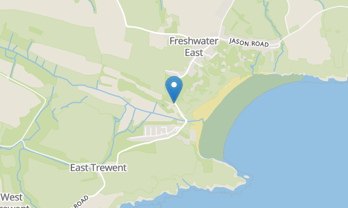
This route takes you along the Pembrokeshire Coast Path from Freshwater East beach to Freshwater West beach. You will follow the rugged cliffs and inland hills. This trail offers fantastic views, a clear pathway but bear in mind it is rather exposed and so the weather can be windy and blustery. Dress appropriately and enjoy!
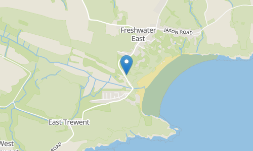
This glorious Pembrokeshire Coast trail spans over 8 miles from stunning Freshwater East, all the way along the coast to Manorbier, where you'll find Manorbier Beach and Castle. Camping opportunities nearby, so stay a while! Lots of great amenities in both Freshwater East and Manorbier. Expect varying terrain here with muddy, uneven, rocky, steep and slippery areas underfoot. Appropriate footwear is highly recommended for this one. Glorious coastal views await you, enjoy! For more information about the Pembrokeshire Coast National Park: https://www.pembrokeshirecoast.wales/ Freshwater Bay: https://www.visitpembrokeshire.com/explore-pembrokeshire/towns-and-villages/freshwater-east Manorbier Castle: https://manorbiercastle.co.uk/
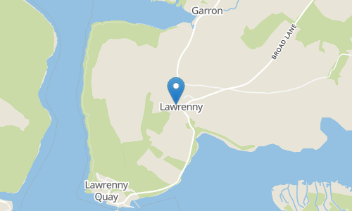
This trail takes you through the quaint village of Lawrenny. You will be able to enjoy views of the River Cleddau. This area is much less visited in comparison to the coast, so wonderful to discover all the while getting away from noise and stress of everyday life. Enjoy the lush woods, flora and fauna on this peaceful walk.
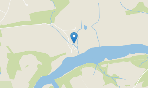
This is a route that follows a public right of way path starting from the end of a lane. Tucked away in this quiet part of south Wales is the Daugleddau estuary, where the two Cleddau (east and west) Rivers meet. It is a pretty area of fields and dense woods and the variable water level can make for more interesting views. Your best bet for parking is layby at the end of the lane right where the route begins. And, if you want a longer walk, there are paths that continue on the other side of the road from the turnaround point.